Wildfire Risk Assessment Tools Insights for December
Whenever I think about wildfires and how to prevent them, one thing becomes clear—understanding and measuring wildfire risk is absolutely critical. I still remember a summer years ago when thick smoke filled the air and firefighters raced against time to contain a massive blaze. Experiences like that have fueled my passion for better wildfire risk assessment and prevention strategies.
In this post, I want to share insights into wildfire risk assessment tools and why they matter. I'll explain how these tools work, the different types available, and how they empower individuals, communities, and agencies to reduce wildfire dangers effectively. Plus, I’ll add practical tips on using this knowledge to keep our forests and homes safer.
Why Wildfire Risk Assessment Matters
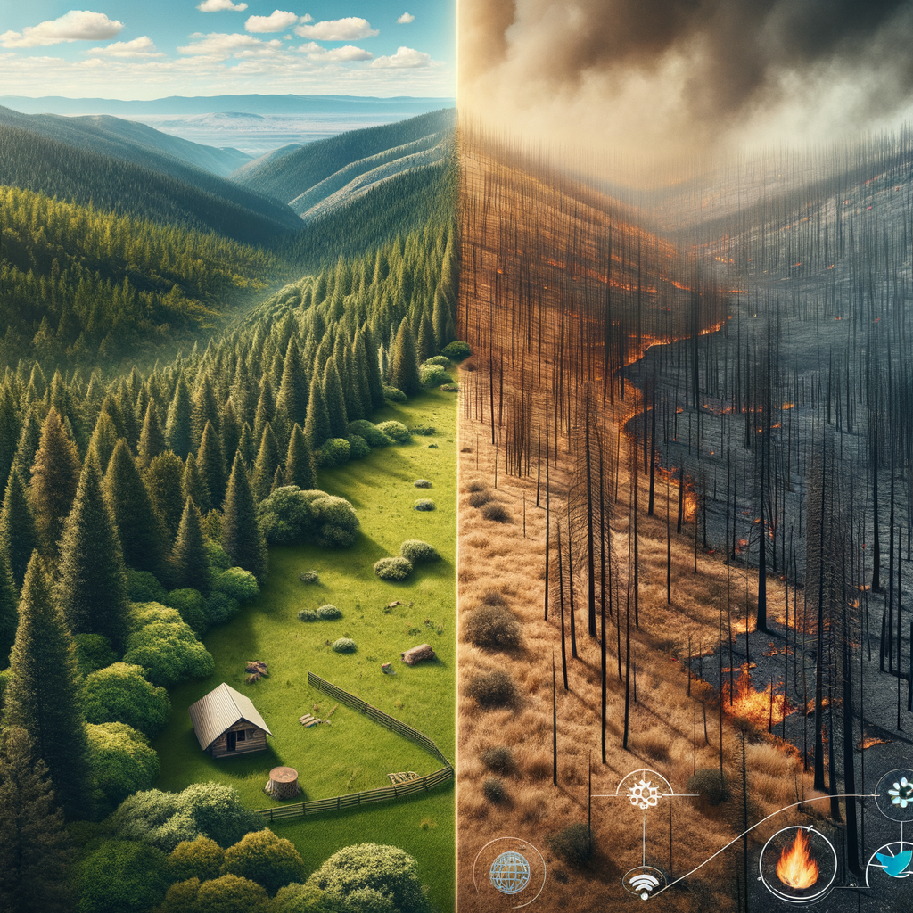
Wildfires are more than just uncontrolled flames devouring trees. They disrupt ecosystems, threaten wildlife, and harm air and water quality for years. The human toll can be devastating—homes destroyed, communities displaced, and billions in damages. With climate change heating things up and drying out landscapes, wildfires are increasingly a serious threat.
Risk assessment tools are a crucial part of the solution. Without accurately understanding where and when fires are most likely, efforts to prevent and respond become guesswork. Proper risk assessment guides where to focus resources, how to plan controlled burns, and informs emergency responses that can save lives and property.
Understanding Wildfire Risk Assessment Tools
Wildfire risk assessment tools come in many forms. At their core, they analyze various factors that influence fire likelihood and behavior—including weather, vegetation, topography, and human activity. Here’s a breakdown of some common types:
1. Fire Danger Rating Systems
These systems provide daily indexes that indicate the likelihood of fire ignition and spread. They incorporate parameters like temperature, humidity, wind speed, and fuel moisture levels. A popular example is the National Fire Danger Rating System used across the United States.
2. Satellite Monitoring and Remote Sensing
Satellites equipped with thermal sensors detect heat anomalies and active fires in near real-time. This tech helps agencies spot fires immediately, even in remote areas, allowing rapid response. It also helps assess vegetation conditions that contribute to fire risk.
3. Geographic Information Systems (GIS)
GIS tools map wildfire hazards by layering data such as vegetation types, past fire history, weather patterns, and human infrastructure. This spatial analysis helps identify high-risk zones needing targeted prevention or evacuation planning.
4. Community Risk Assessment Models
These models combine environmental data with socioeconomic factors, such as community preparedness and infrastructure resilience. Governments and planners use these insights to prioritize funding and develop community-specific fire mitigation strategies.
How These Tools Impact Prevention and Safety
By leveraging wildfire risk assessment tools, decision-makers can:
- Implement controlled burns safely to reduce fuel buildup.
- Enforce fire restrictions precisely when and where risk is highest.
- Optimize patrols and monitoring resources.
- Communicate timely warnings and evacuation notices.
- Support homeowners in creating defensible spaces tailored to local risks.
Tips for Using Wildfire Risk Information
You might not have access to high-tech satellites, but you can still stay informed and act responsibly:
- Check Fire Danger Ratings: Before heading outdoors, see what fire danger level your area has. Many government forestry websites publish daily reports.
- Follow Local Restrictions: Abide by any burn bans or fire restrictions, especially during high-risk times. It’s not just policy—it’s safety.
- Use Risk Maps: Some regions offer public maps showing wildfire hazards. Review these to understand your neighborhood’s vulnerability.
- Prepare Your Property: Use risk info to improve your home’s defensible space. Clearing brush, removing dead leaves, and maintaining fire-resistant landscaping reduces danger.
- Stay Involved: Join local fire prevention groups or educational events. Sharing knowledge helps build a more resilient community.
Looking Ahead
Wildfire risk assessment tools are continually improving. Advances in AI and machine learning are boosting predictive accuracy, enabling authorities to get ahead of fires before they ignite. The integration of drones and real-time sensors also promises faster detection and better data for decision-making.
Still, technology alone isn’t enough. It requires collective awareness and commitment from all of us to put these tools into action. By understanding wildfire risks and respecting the warnings, we can protect not just our forests but the safety and well-being of entire communities.
Final Thoughts
I’ve learned that wildfire risk assessment is a powerful ally in fighting the ever-growing wildfire threat. When we combine accurate data with responsible behavior, we take meaningful steps toward safer, healthier forests and neighborhoods.
Next time you’re checking the weather or planning outdoor activities, take a moment to look up wildfire risk info. It’s a simple habit with a big payoff.
Together, let’s stay informed, prepared, and proactive. Our woods and communities depend on it.
Have you used wildfire risk tools or participated in prevention efforts in your area? Share your experience below—I’d love to hear how others are helping protect our landscapes.