Corridor Connectivity Mapping Insights for May
When I first encountered the concept of corridor connectivity mapping, I knew it was something that could transform how we restore wildlife habitats. It goes beyond simply planting trees or protecting isolated patches of land. It’s about understanding the lifelines that connect these habitats — the corridors wildlife use to move, migrate, find food, and breed. Without these connections, even the best-protected habitats can become isolated, threatening biodiversity.
In this post, I want to share the key insights about corridor connectivity mapping from my recent experiences and research. This approach is crucial for anyone serious about effective wildlife habitat restoration today.
What Is Corridor Connectivity Mapping?
In simple terms, corridor connectivity mapping is a tool that helps identify the pathways wildlife use to travel between habitats. Think of it as a roadmap for animals — showing where they go, how they get there, and the obstacles they face.
These corridors could be forest strips linking bigger patches, riverbanks connecting wetlands, or even hedgerows across farmlands. The goal is clear: make sure these routes remain safe, accessible, and continuous so wildlife can thrive.
Why Corridor Connectivity Matters More Than Ever
As I dug into the data, it became clear to me just how vital connectivity is. Habitat loss and fragmentation don't just reduce space for wildlife — they create islands of isolated populations. This isolation can lead to reduced genetic diversity, increasing the risk of extinction.
Imagine a frog population trapped in a drying pond with no way to reach a nearby wetland. Or a group of deer cut off from seasonal feeding grounds. The problem isn’t just habitat loss; it’s how broken the landscape has become.
Corridor connectivity mapping helps fix this puzzle by revealing where wildlife corridors have been blocked or weakened. Restoring these pathways can be the difference between survival and collapse for many species.
How Does Corridor Connectivity Mapping Work?
I found the process fascinating and quite involved. Here’s how it generally unfolds:
1. Data Collection
This starts with gathering spatial information — satellite imagery, field surveys, GPS tracking of animals, and ecological data. The more precise, the better.
2. Identifying Core Habitats
Next, the main patches of habitat where animals live, breed, or feed are mapped. These become the anchor points for corridors.
3. Modeling Connectivity
Using Geographic Information Systems (GIS) and specialized software, scientists model how species move through a landscape. This includes identifying potential corridors and the barriers—like roads or urban areas—that block movement.
4. Prioritizing Corridors
Not all corridors are equal. Some are critical for multiple species or serve as key migration routes. Prioritization helps focus restoration efforts for maximum impact.
Real-World Applications That Inspire
Take the example of the Pacific Northwest in the United States. Connectivity mapping has helped identify crucial wildlife corridors linking fragmented forests. By protecting and restoring these corridors, species like the Northern Spotted Owl can move freely without risking crossing busy highways.
Another powerful example is in Brazil’s Atlantic Forest, where mapping has revealed hidden corridors allowing jaguars to travel safely across agricultural landscapes. Restoration projects informed by these maps are helping reconnect vast areas.
How Corridor Connectivity Mapping Enhances Wildlife Restoration
Here’s what I have learned: without understanding and protecting connectivity, restoration projects risk being islands of habitat in a sea of inhospitable land. Connectivity mapping adds a strategic layer by:
- Guiding where to focus restoration for greatest wildlife benefit
- Helping design corridors that support multiple species
- Identifying human-made barriers needing mitigation
- Enhancing genetic diversity and population resilience
Adding corridor connectivity insights into restoration planning is a game changer.
What You Can Do to Support Connectivity Efforts
Wondering how you can contribute? Here are some ideas from my own journey:
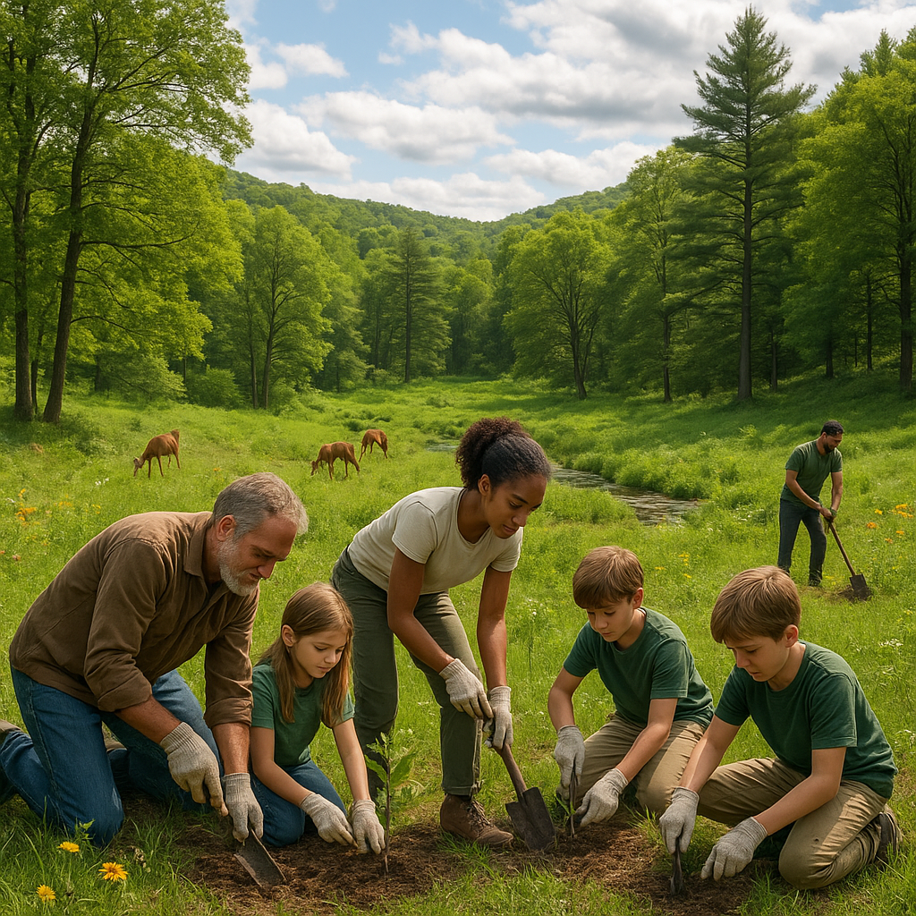
- Join or support local habitat restoration groups focused on corridor projects
- Advocate for wildlife crossings and green bridges in your community
- Encourage urban planning that preserves natural corridors
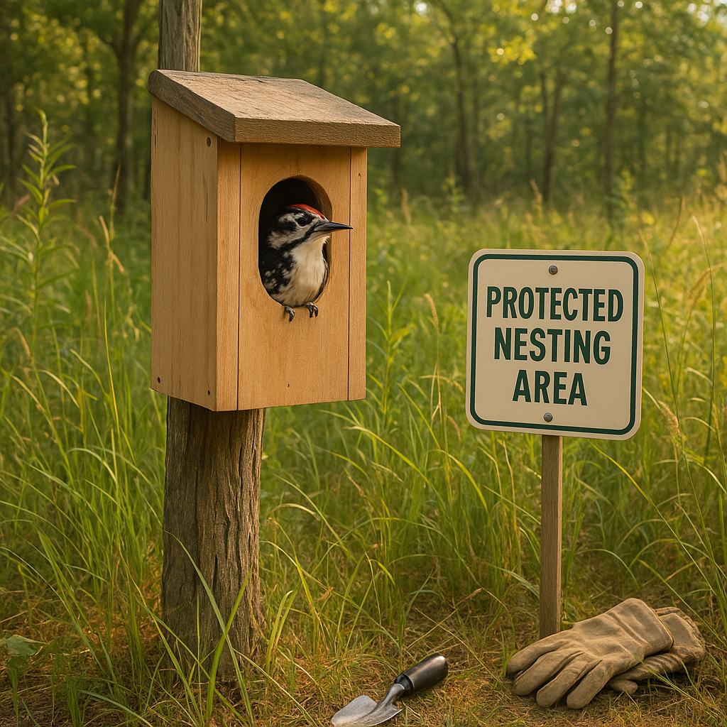
- Create wildlife-friendly spaces in your garden, connecting to nearby habitats
Small individual actions add up to big landscape-level benefits when it comes to connectivity.
Final Thoughts
Corridor connectivity mapping is reshaping how we think about conservation and restoration. It reminds me that true habitat restoration is not just about the patches, but the connections between them. Nature doesn’t exist in isolated pockets — it’s a complex, interconnected web.
If there is one key takeaway from my research and experience, it is this: supporting wildlife corridors means supporting survival. It means turning fragmented landscapes into thriving, living networks where animals can move freely and ecosystems flourish.
The maps may look complex, but the message is simple — wildlife needs pathways. Helping keep these paths open is one of the most impactful ways we can restore balance to the natural world. And right now, it couldn’t be more urgent.
Resources to Explore More
- Society for Ecological Restoration — Focus on Landscape Connectivity
- Connectivity Conservation Management (CCM) Guidelines
- Corridor Restoration Projects Highlights from the World Conservation Union (IUCN)
Let’s work together to keep nature connected. Our efforts today will echo in the survival stories of tomorrow.