Corridor Connectivity Mapping Insights for July
When I first came across corridor connectivity mapping, I didn’t realize just how crucial it is for wildlife habitat restoration. Over time, I understood that this tool is not just a technical exercise—it’s a game-changer for saving ecosystems and making sure animals can move safely and freely across landscapes.
Today, I want to share key insights on corridor connectivity mapping, why it’s so important for wildlife habitats, and how it helps breathe life back into nature.
Understanding Corridor Connectivity Mapping
Corridor connectivity mapping is essentially about finding the paths that connect different patches of wildlife habitat. Think of it like a highway system that allows animals to travel between important areas such as feeding grounds, breeding sites, and seasonal habitats.
These connections are vital. Without them, populations become isolated, which reduces genetic diversity and makes species more vulnerable to extinction. This mapping helps conservationists identify where corridors exist, where they are missing, and how to restore or create new pathways.
Why Corridor Connectivity Matters for Habitat Restoration
Wildlife habitat restoration is about more than fixing a single location. It’s about the bigger picture—how various habitats link together across a landscape.
Without connected corridors:
- Animals struggle to find mates, food, or refuge.
- Populations become fragile due to inbreeding.
- Species face higher risks from climate shifts or disasters.
Connecting habitats through corridors helps maintain healthy, resilient ecosystems. Healthy corridors also allow species to adapt to changing environments by moving to suitable new areas.
For me, the power of corridor mapping lies in its science-based approach. It ensures restoration efforts are strategic, focusing resources where they truly matter most.
Steps in Corridor Connectivity Mapping
The process involves several careful steps:
1. Data Collection
Collect spatial data on land cover, topography, and human structures such as roads or urban areas that can act as barriers. Information on the movement patterns and habitat needs of target species is also essential.
2. Identification of Habitat Patches
Recognize key habitat fragments across the landscape. These patches should offer the resources animals need for survival and reproduction.
3. Modeling Movement Paths
Using GIS tools and ecological models, map out the most likely routes animals use to travel between habitat patches. This includes assessing landscape resistance—how difficult it is for species to cross certain areas.
4. Prioritizing Corridors
Assess which corridors are critical for maintaining connectivity and where restoration or protection efforts will have the biggest impact.
5. Monitoring and Adjusting
Corridor effectiveness must be monitored over time. If landscape changes or new barriers emerge, adjustments to restoration strategies become necessary.
Real-World Applications That Inspire
-
In the Pacific Northwest, corridor mapping helped connect fragmented forest patches for species like the northern spotted owl, enhancing their chances of survival.
-
In Australia, mapping enabled recovery efforts for the koala by identifying safe pathways between eucalyptus forests amidst urban expansion.
-
A project in the Amazon used connectivity maps to prioritize regions for reforestation, supporting migratory routes of countless bird species.
These examples highlight how corridor connectivity mapping leads to targeted, effective conservation outcomes. Each step is a stride towards reknitting the fabric of nature.
How You Can Support Corridor Connectivity and Habitat Restoration
Even if you aren’t directly involved in mapping or restoration, your actions count:
-
Support local conservation groups focused on landscape connectivity.
-
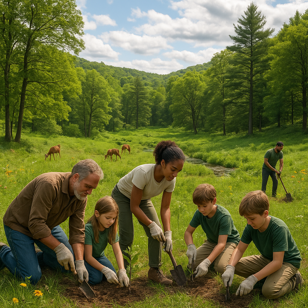
Volunteer for tree planting or invasive species removal in areas that form critical linkages.
-
Advocate for responsible land development that avoids fragmenting natural corridors.
-
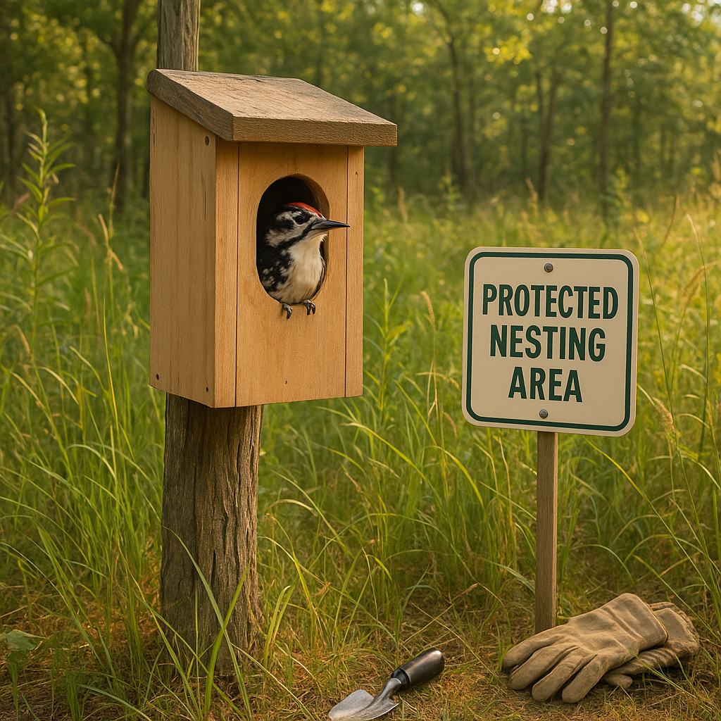
Create backyard habitats with native plants that provide stepping stones for wildlife.
Together, these efforts help safeguard the pathways wildlife depend on.
Overcoming Challenges on the Corridor Path
Mapping and restoring corridors isn’t without obstacles. Urban growth often slices through potential pathways. Funding constraints limit the scope of restoration projects. And climate change adds uncertainty to which habitats remain suitable.
But these challenges drive innovation—new technologies in remote sensing and modeling, policy changes favoring green infrastructure, and growing public awareness mean momentum is building.
Closing Thoughts: Corridor Connectivity as Nature’s Lifeline
Corridor connectivity mapping isn’t just a technical term; it’s a lifeline for wildlife. It helps us see and heal the invisible threads linking habitats and species across our planet.
Engaging with this work has reshaped how I see conservation. It’s no longer about isolated patches of green. It’s about interconnected landscapes where every pathway counts.
So I encourage you to look for the corridors in your community. Where do animals move? Where can we help keep those routes open?
Restoring wildlife corridors is a hopeful, practical way to breathe life back into nature. And it’s a journey we can all be part of.
Corridor connectivity mapping shines a light on the routes wildlife need to thrive. Will you join in protecting these critical connections?