Wildfire Risk Assessment Tools Insights for April
When I first stepped into the world of hiking, the forest seemed like an endless, untouched sanctuary. Towering trees and the soft rustle of leaves created a sense of timeless peace. But that peace is fragile. Forests face a serious threat every year—wildfires. These fires don’t just scorch trees; they devastate habitats, harm air quality, and threaten entire communities. The urgency to prevent wildfires hit me hard, but what really changed how I approach forest safety was understanding wildfire risk assessment tools.
Why Understanding Wildfire Risk Assessment Tools Matters
Wildfires can ignite quickly, fueled by dry conditions and human mistakes. But the reality is that most fires can be prevented by being informed and cautious. Here’s what struck me: human activity causes nearly 90 percent of wildfires in the United States. That fact alone made me realize how important it is to grasp how wildfire risks are assessed.
Wildfire risk assessment tools give us the power to see danger before it strikes. They analyze weather, vegetation, and human factors to forecast fire potential. For anyone venturing into the woods—or managing land—knowing these tools can be a game changer.
How Wildfire Risk Assessment Tools Work: A Quick Overview
At their core, wildfire risk assessment tools collect and process data from various sources:
- Weather conditions: temperature, humidity, wind speed
- Vegetation types and dryness levels
- Topography: slopes and elevation
- Human factors like nearby campsites or roads
This data is combined to produce indexes or maps that highlight high-risk areas. Agencies and firefighters use these maps to prioritize patrols and implement fire restrictions early.
Some common tools include the Fire Weather Index (FWI), the Energy Release Component (ERC), and satellite-based fire detection systems. These tools are updated frequently, especially during dry, hot months like April, when wildfire risk starts to climb.
My Approach to Using Wildfire Risk Information
Over time, I’ve learned to check wildfire risk assessments regularly when planning trips. Here’s what I do:
- Visit official resources such as local forestry websites or fire weather offices
- Analyze fire danger ratings for my intended area and date
- Adjust plans or gear accordingly, like choosing no-campfire options if risk is high
- Share the information with friends and fellow hikers
This habit keeps me aware and prepared, reducing the chance of accidentally starting a fire—and increasing my safety.
Technology and Community: A Powerful Duo in Wildfire Prevention
One thing I find inspiring is how technology and local communities work side by side. Drones and satellites scan vast forests to spot smoke or heat spots quickly. AI models predict fire spread patterns, giving firefighting teams a head start.
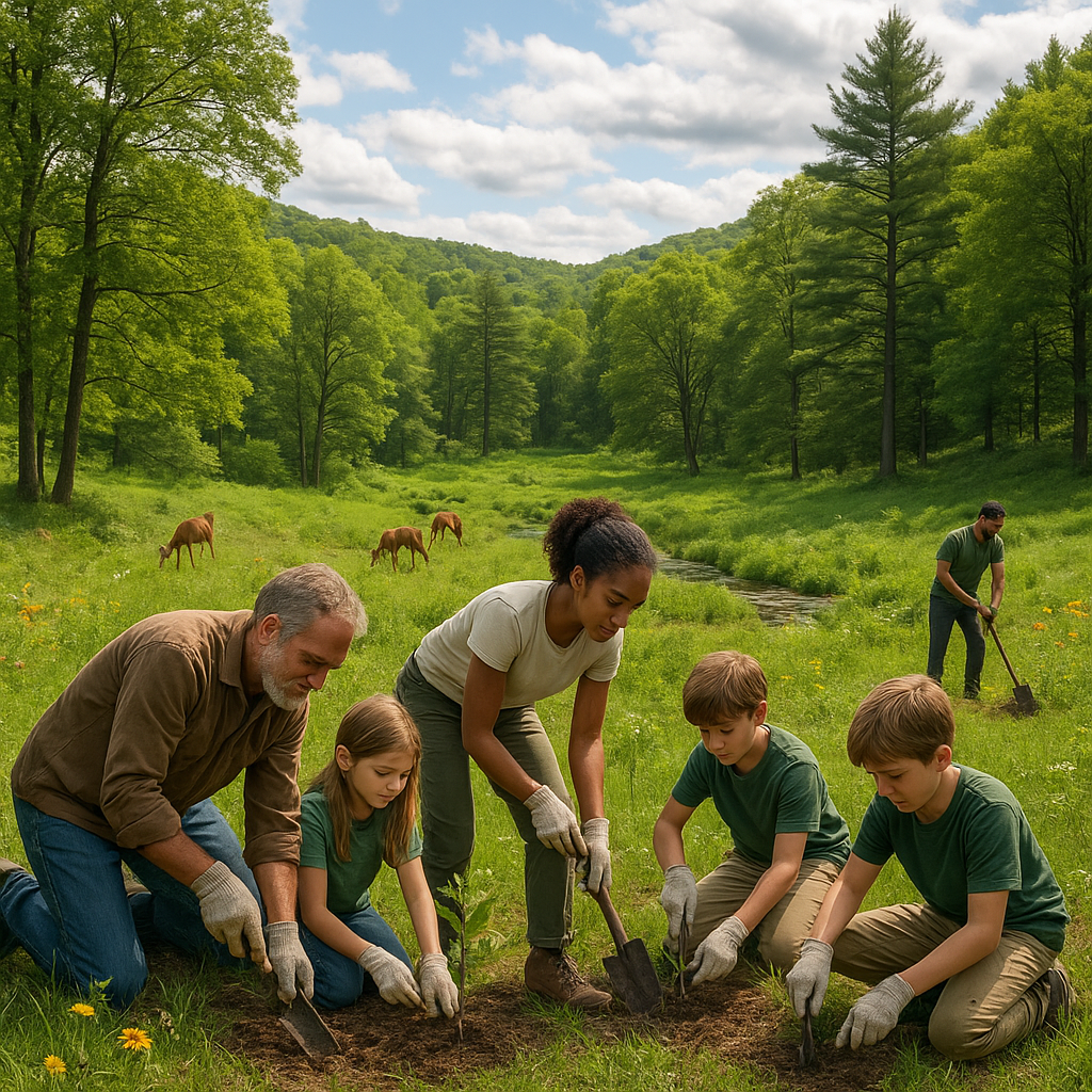
Yet technology alone isn’t enough. Volunteer groups play a vital role in early fire detection and education. These teams know the land deeply and often respond faster than official squads. I encourage everyone to engage with local fire prevention efforts or volunteer when possible.
A Personal Experience That Reinforced Fire Safety
Last April, I was camping just as the wildfire risk surged. I checked the fire danger rating and found it was at a critical level. We skipped lighting a campfire altogether. That decision kept my group safe and reminded me how these tools help prevent disaster—if you use them.
It’s a simple step, but it means everything when conditions are right for a fire to spark and spread.
Practical Steps You Can Take Using Wildfire Risk Assessments
Whether you’re an outdoor enthusiast or just concerned about your local woods, consider these actions:
- Regularly check updated wildfire risk indices before heading out
- Follow any fire bans or restrictions promptly and seriously
- Use fire-safe camping techniques or avoid fires completely when danger is high
- Keep emergency equipment like water and fire extinguishers handy when necessary
- Support and spread awareness of local fire prevention programs
Every step helps reduce the chance of fires and protects the natural places we love.
Final Thoughts: Staying Ahead of Wildfires Together
Wildfires can start faster than you expect and become deadly in minutes. That is why wildfire risk assessment tools matter—they provide a warning, a chance to choose safety and prevention. Using these tools isn’t complicated. It’s about staying informed and acting responsibly.
If there’s one takeaway from my experience, it’s this: the best wildfire prevention happens when people know the risks and prepare accordingly. Let’s do our part by embracing these tools, sharing what we learn, and respecting nature’s limits.
Together, we can protect our forests for today and the future. After all, walking through thriving, green woods is an experience worth preserving.
Thank you for joining me on this important journey. Stay safe, stay aware, and enjoy every step in the great outdoors.