Corridor Connectivity Mapping Insights for January
When I first encountered the concept of corridor connectivity mapping, I wasn’t exactly sure what to make of it. It sounded technical and maybe a bit out of reach. But as I spent time understanding it, I realized just how crucial it is for restoring wildlife habitats and maintaining healthy ecosystems. This mapping technique is a powerful tool that guides us in reconnecting fragmented habitats, allowing animals to move freely and ecosystems to function as they should.
What Is Corridor Connectivity Mapping?
Simply put, corridor connectivity mapping identifies natural pathways that connect separate patches of wildlife habitat. These corridors act like highways for animals, providing safe routes to find food, mates, and shelter. As human development grows—roads, buildings, agriculture—these natural routes get blocked or broken up. The result? Wildlife populations become isolated, which leads to reduced genetic diversity and increased risk of extinction.
Connectivity mapping helps us pinpoint these broken links. With it, we can strategize restoration efforts in a way that reconnects habitats, ensuring wildlife can roam, migrate, and thrive.
Why Corridor Connectivity Matters So Much
When habitats are fragmented, imagine how difficult life becomes for animals and plants. It’s like living in islands separated by vast oceans. Species get trapped, unable to escape danger or adapt to changing conditions.
Restoring connectivity is more than just buffering an endangered animal’s range. It strengthens entire ecosystems. Connected habitats support greater biodiversity, improve resilience against climate change, and maintain the natural cycles of energy, nutrients, and water.
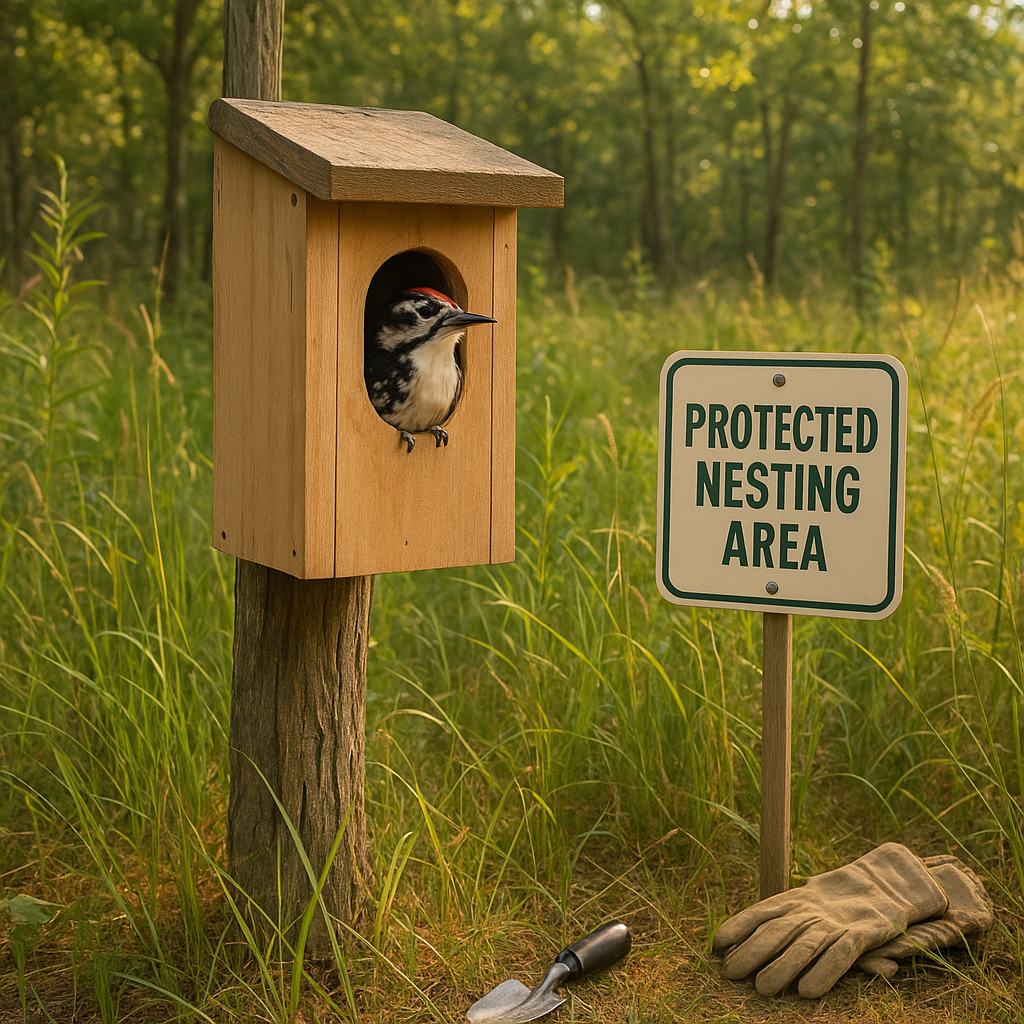
I have witnessed projects where restoring just one corridor dramatically boosted wildlife activity. Suddenly, animals like deer, foxes, and countless bird species reappeared. Plant communities flourished. Local streams saw improved water quality. The physical link created bigger, healthier habitats. That’s the power corridor connectivity mapping reveals.
How the Mapping Process Works
There is a detailed, step-by-step approach to corridor connectivity mapping worth understanding:
1. Collecting Data
We start by gathering data on the landscape. This includes satellite images, topography, land use patterns, and existing wildlife surveys. It’s a mix of technology and boots on the ground.
2. Identifying Habitat Patches
The next step is to find all remaining patches of natural habitat. These are the key 'nodes' in the network—places where wildlife can live or breed.
3. Analyzing Barriers and Threats
Then, we analyze what prevents movement between patches. Roads, fences, urban zones, and invasive species are common barriers.
4. Mapping Potential Corridors
Using geospatial technology and software, we map out possible corridors that wildlife might use to connect habitats. This includes assessing the quality of the corridor in terms of vegetation cover, safety, and resources.
5. Prioritizing Restoration Sites
Finally, we identify which corridors are most critical to restore. Limited resources mean we must focus on areas where connectivity will have the greatest ecological benefit.
Real-World Impact: Restoration through Connectivity
One inspiring case is the extensive mapping and restoration work done in the Pacific Northwest. Here, urban expansion fragmented vast forests and rivers. Corridor connectivity mapping allowed scientists to guide the creation of wildlife crossings over highways and the restoration of riparian buffers. The return of species like the black bear and spotted owl demonstrates the success of this approach.
Closer to home, local groups use connectivity data to restore riverbanks and forest patches in ways that help migratory birds complete their journeys. This type of targeted restoration is more efficient and yields better ecological outcomes than random planting or protection.
How You Can Get Involved
Understanding corridor connectivity mapping opens many doors for action:
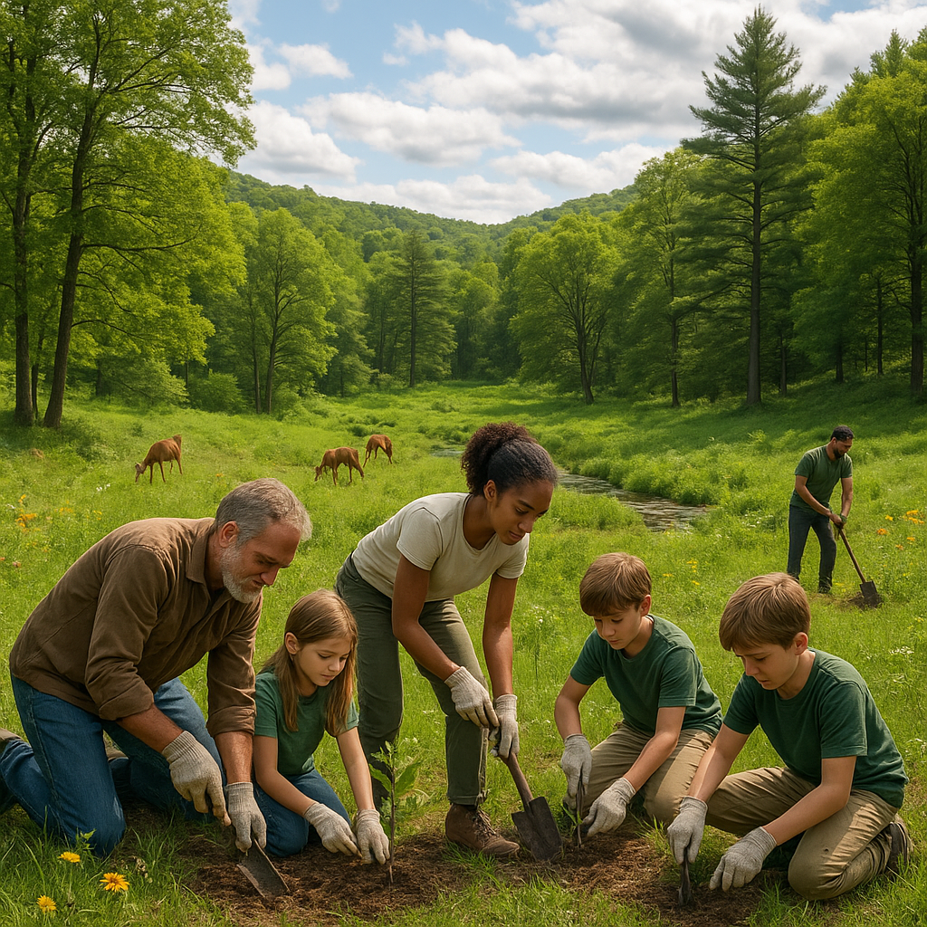
- Support Organizations Working on Connectivity: Volunteer with groups that focus on habitat restoration and mapping.
- Promote Native Plantings: When you plant native species in your yard, you help create small stepping stones for wildlife.
- Advocate for Wildlife-Friendly Development: Speak up for green corridors in urban planning processes.
- Educate Yourself and Others: Share knowledge about habitat fragmentation and connectivity—awareness is the first step.
Every effort, big or small, contributes to healthier ecosystems and more connected landscapes.
The Challenges We Face
Connectivity restoration is not without hurdles:
- Complex Land Ownership: Corridors often cross private lands requiring negotiation and cooperation.
- Climate Change Effects: Changing climates shift suitable habitats and alter migration routes.
- Funding Needs: Technology and restoration projects can be expensive.
- Balancing Human Needs: Development and connectivity have to find a sustainable balance.
Despite these difficulties, corridor connectivity mapping provides a clear roadmap. It helps us move forward with purpose rather than guesswork.
Closing Thoughts
Corridor connectivity mapping has reshaped how I see wildlife restoration. It is a science-backed, strategic method that shows exactly where and how we can reconnect fractured habitats. More connected wildlife corridors mean stronger ecosystems—supporting both nature and people.
For anyone serious about environmental restoration, this approach offers hope and direction. It proves that restoration is not just about planting trees but about intelligently weaving together landscapes, making the whole greater than the sum of its parts.
Let us embrace corridor connectivity mapping—not just as a tool, but as a mission for building a sustainable future where wildlife thrives alongside us. Together we can create a world where ecosystems remain vibrant, resilient, and interconnected.
Invest in connectivity. Restore with purpose. Protect our planet.