Corridor Connectivity Mapping Insights for October
If you have ever explored a forest trail or watched wildlife move across the landscape, you might have felt a connection—an invisible thread linking ecosystems together. Today, I want to focus on a vital part of conservation you might not hear about as often but is crucial for protecting wildlife and restoring habitats: corridor connectivity mapping. This tool is transforming the way we think about wildlife habitat restoration, and I’m excited to share what I’ve learned.
What Is Corridor Connectivity Mapping?
At its simplest, corridor connectivity mapping is about understanding the paths animals use to travel between different habitats. Think of it like a map for wildlife highways, identifying safe passages that connect isolated habitat patches. These corridors allow species to find food, mate, migrate, and adapt to changes in the environment.
Without these connections, populations become isolated. That isolation can lead to genetic problems, reduced diversity, and in a worst-case scenario, local extinction. Mapping these corridors helps conservationists prioritize where to focus restoration and protection efforts, ensuring landscapes remain or become connected in ways that support healthy ecosystems.
Why Corridor Connectivity Matters for Wildlife Habitat Restoration
Connectivity is often the missing piece in restoring wildlife habitats. Planting trees and improving a patch of land helps. But if that patch is a lone island, it may only benefit a limited number of species. Wildlife needs to move across the landscape, especially in a world where habitats are shrinking and fragmenting due to human activities.
- Supports biodiversity by enabling gene flow and population dispersal.
- Increases resilience to climate change when animals can shift their ranges safely.
- Improves ecosystem services such as pollination and pest control by supporting mobile species.
- Bridges gaps created by roads, farms, and cities, reducing wildlife collisions and roadkills.
The more connected the landscape, the better chance wildlife has to thrive. I’ve seen projects where restoring just a narrow corridor made a huge difference in animal movement and habitat use.
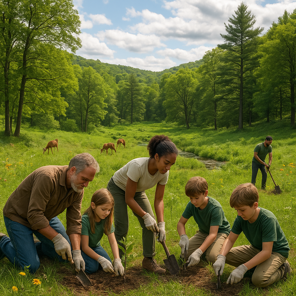
My Experience with Mapping and Restoring Corridors
Over the past few years, I have worked on projects involving mapping wildlife corridors in both forested and wetland areas. What always strikes me is the level of detail required. It’s not just about drawing lines on a map. We analyze terrain, land cover, water sources, and human impacts.
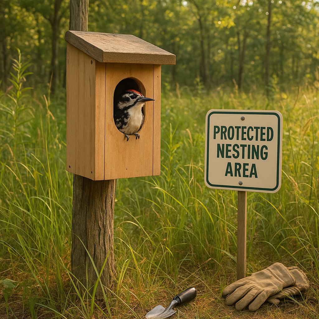
Using satellite images, GIS tools, and field surveys, the process becomes a strategic blend of technology and boots-on-the-ground knowledge. One project that stands out involved identifying corridors for a declining bird species. Through mapping and restoration—removing invasive plants, planting native shrubs, and creating nesting habitats—we saw these birds begin to use the corridors again within a year.
That sense of progress drives the passion behind this work.
Key Steps in Corridor Connectivity Mapping for Restoration
Having been involved in this field, I can tell you that corridor connectivity mapping follows some key steps:
1. Data Collection and Analysis
Gather detailed information on current land use, wildlife presence, and environmental barriers. Remote sensing and GIS technology play a big role, but community knowledge adds valuable insight as well.
2. Identifying Barriers and Bottlenecks
Pinpoint areas where wildlife movement is restricted—highways, urban development, or degraded lands. These are priority spots for restoration or mitigation.
3. Designing Corridors
Plan routes that connect critical habitats, considering terrain, vegetation cover, and water availability. Sometimes corridors need to include stepping stones like small habitats to help species cross otherwise hostile stretches.
4. Implementation of Restoration Plans
This can include reforestation, wetland restoration, invasive species control, and installation of wildlife crossings or culverts.
5. Monitoring and Adaptation
Regularly track wildlife movement using camera traps, GPS tracking, or citizen science programs. Adjust restoration strategies based on what the data shows.
Challenges We Face in Corridor Connectivity Efforts
Restoring connectivity is not without its difficulties. Funding is often limited and requires building support across multiple stakeholders—landowners, government agencies, conservation groups, and local communities. Climate change adds uncertainty to where corridors should be designed to remain effective in the future. Plus, controlling invasive species and overcoming physical barriers like roads can be logistically complex.
Despite these challenges, the benefits far outweigh the costs. The result is landscapes where both humans and wildlife can coexist and thrive.
What You Can Do to Help
Even if you are not directly involved in mapping or land restoration, you have a role to play in corridor connectivity:
- Support local and national conservation organizations focused on habitat connectivity.
- Advocate for wildlife-friendly land use and policies in your community.
- Create small wildlife-friendly spaces in your yard, such as planting native plants or providing water sources.
- Stay informed and share the importance of connected habitats with your networks.
Every action matters. Connectivity starts with awareness and care.
Looking Ahead: The Future of Corridor Connectivity Mapping
Advancements in remote sensing, artificial intelligence, and bio-logging technologies are making corridor connectivity mapping more precise and effective. Citizen science apps are engaging broader audiences in monitoring wildlife movements. Collaborative efforts across borders and sectors are fostering larger-scale restoration efforts than ever before.
I remain optimistic. Corridor connectivity mapping is both a science and a beacon of hope. It guides us toward landscapes that are connected, resilient, and full of life.
Final Thoughts
Wildlife habitat restoration succeeds when we think beyond isolated patches and envision whole, connected ecosystems. Corridor connectivity mapping opens new doors to understanding and facilitating the movement essential for species survival. The work is complex but deeply rewarding.
By focusing on these connections, we don’t just restore land—we restore the flow of life itself.
Have you witnessed or participated in wildlife corridor projects? What changes did you observe? I would love to hear your experiences and ideas. Let’s keep the conversation and commitment to connected landscapes growing.
Together, we can map, restore, and protect the vital corridors that keep our natural world alive and thriving.